Click two points → distance in meters. Click again to start a new line. Or switch to polygon mode to outline the whole pool.
scale reference
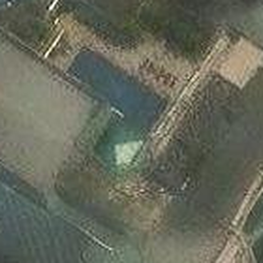
Image covers 140×140 Esri-z19 pixels. Native resolution 0.2787 m/px, scale ×8 in display → each displayed pixel (on the 1120×1120 native image) represents 0.0348 m. Since the image is CSS-scaled to fit, the script computes meters from pointer coords using the ratio 140 × 0.2787 / displayedWidth m per CSS pixel.